MAPTHOS is a no-code platform for building interactive, data-driven maps in minutes.
Create maps from real geographic data, compare countries and regions, visualize indicators, draw areas, explore patterns, and turn complex datasets into clear visual stories — all directly in the browser.
Under the hood, MAPTHOS combines accurate geography with AI-powered assistance. AI helps you select regions, analyze data, generate insights, and refine visualizations without breaking structure or accuracy.
Use MAPTHOS to:
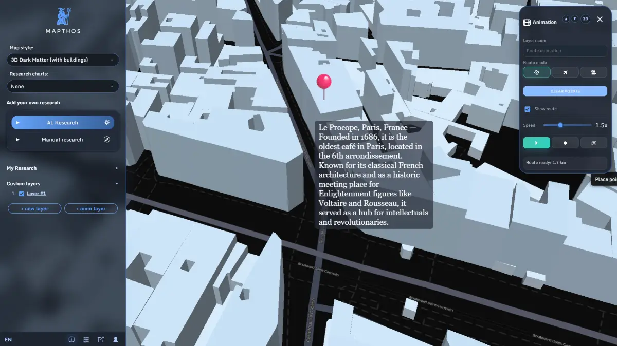
Create interactive world, regional, and city-level maps
Compare metrics across countries and regions
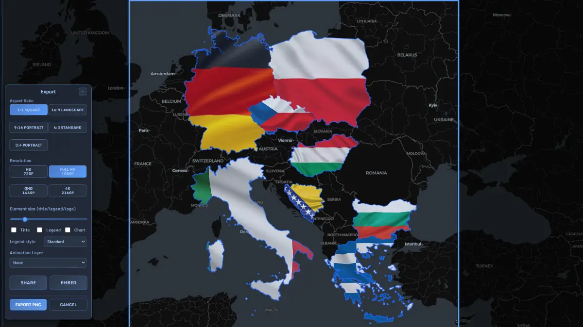
Visualize datasets with clarity and consistency
Build presentations, research visuals, and shareable map stories
Share maps via links or embed them anywhere
No GIS skills. No complex tools.
Just real maps, enhanced by AI — built for thinking, exploring, and communicating data visually.